|
|
|
|
REVIEW
OF PREVIOUS "FIRST NATIONS ACROSS NORTH AMERICA" MAPS |
|
|
|
|
Note that the concept
used in First Nations Seeker's map of drawing out first nations
with simple black lines on a white background is NOT original.
Rather, First Nations Seeker's map is merely the latest in a
long line of maps stretching back decades. (None of these maps
have been used as source maps for First Nations Seeker's map.)
Here is a survey of the previous maps that I am aware of. If
you click them, the maps will expand into a much larger, readable
format.
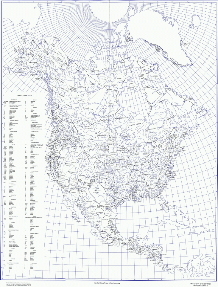
1939
Albert L. Kroeber's
"Native Tribes of North America" Map
This University of
California map is of good quality.
 1952
John Reed Swanton's
"The Indian Tribes of North America" Map
Mr. Swanton, an anthropologist
and linguist, worked for forty years at the Bureau of American
Ethnology of the Smithsonian Institution in Washington, DC. During
this time, he published his authoritative book, "The Indian
Tribes of North America" and this map was a four page insert
with that book. I have found this map very interesting.
>
Looking for a copy of his map <
1970
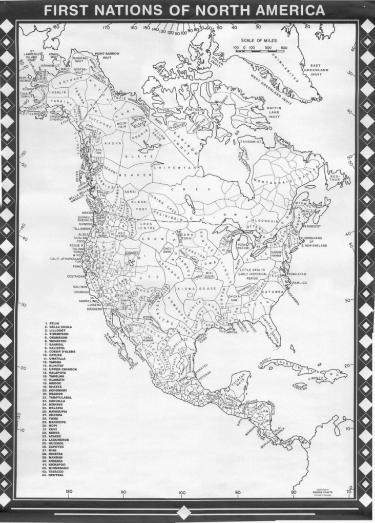
Praire Crafts "First
Nations Across North America" Map
My father bought this
poster map at the Pioneera Exhibition in Saskatchewan. It was
my first introduction to this kind of map and I lived with it
for many years. Other than the map being produced in Canada,
there is no way of telling who created it. It came in gray and
blued toned versions. I credit this map as inspiring the whole
First Nations Seeker project! Click the map below to view a more
readable copy.
 1975
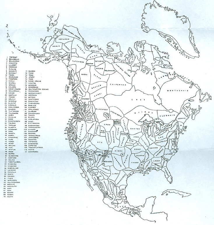
George Murdock's "Ethnographic
map of North America"
This map was on one
page of each volume of a series entitled "Ethnographic Biblography
of North America". Click map to look at in more detail.
 1979
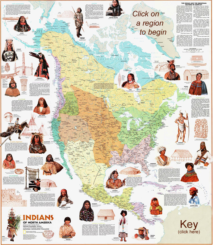
National Geographic's
"Indians of North America" Map
This wall map came
as an insert in National Geographic's magazine and thence it
had wide circulation.
 1999
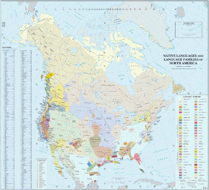
Ives Goddard's "Native
Languages and Language Familes of North America " Map
Mr. Goddard is a distinguished
linguist and curator in the Department of Anthropology at the
Smithsonian Institute's National Museum of Natural History. Click
the map below to view a clear readable copy.
 2007 to 2021
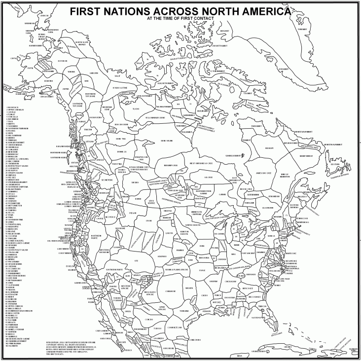
First Nations Seeker's
"First Nations Across North America - At the Time of First
Contact" Map
Features: 1) Created
in the era of the internet, and thence full advantage has been
taken of research far and wide. 2) It has an associated website
in which you can visit the first nations on the map. 3) Source
maps can be viewed (via the website) and thence you can see how
it's put together. 4) Strong focus on linguistics and it's "First
Contact" mandate.
Click the map below
to view it's full size!
 |
|

